The Ice Age and Origins of the Humber Watershed
Toronto, Ontario
Toronto, Ontario
Introduction
Overview of the
Humber River
Global and Continental Glaciation
Land Form Development in North America
Geological History
of the Great Lakes
Development of the
Oak Ridges Moraine
Geology of the
Humber River Watershed
Ecology & Recreation
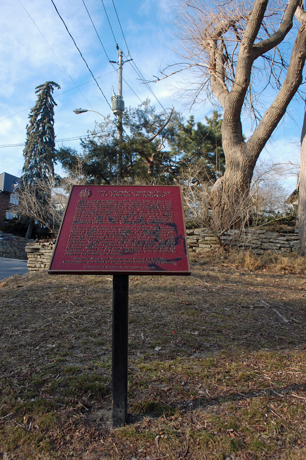
Early Inhabitants
Maps of the
Humber River Watershed
Photo Gallery Humber River Watershed
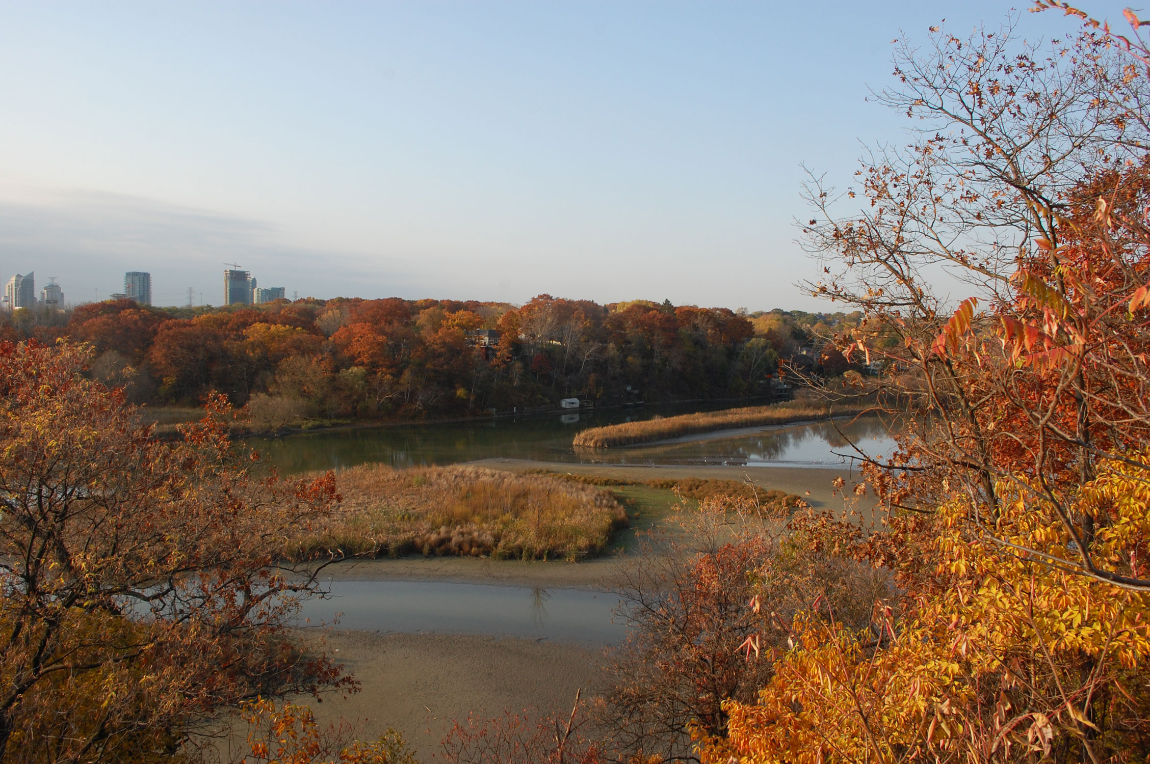
Humber Marshlands looking north to the Old Mill, Toronto
Overview of Geology of the Humber River
The geology of the watershed generally consists of Quaternary sediments infilling an ancient fluvial valley system incised into the bedrock surface. This bedrock valley system drained the Upper Great Lakes basin into what is now the St. Lawrence River.
There are four main geologic features present, including:
* A bedrock valley system that contains thick sand and gravel deposits (Georgian Bay Formation-Ordivician)
* The Niagara Escarpment that forms the western boundary of the Humber River watershed (Silurian Cuesta)
* The Oak Ridges Moraine (ORM) that forms the headwater of the Humber Watershed (Wisconsonian Glaciation Period)
* Areas where Quaternary sediments have eroded and largely in-filled with sequences of sand and silt. This erosive action is attributed to tunnel channel formation beneath glacial ice
(abst: Humber River State of the Watershed Reports, TRCA 2008).