The Ice Age and Origins of the Humber Watershed
Toronto, Ontario
Toronto, Ontario
Introduction
Overview of the
Humber River
Global and Continental Glaciation
Land form development in North America
Geological History
of the Great Lakes
Development of the
Oak Ridges Moraine
Geography of the
Humber River Watershed
Ecology
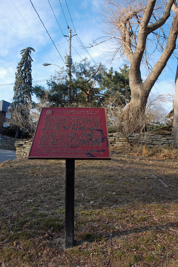
Early Inhabitants
Maps of the
Humber River Watershed

A Map of the Great Lakes
The Great Lakes cont'd
7. During the retreat of the ice margin large glacial lakes developed within the basins of the Great Lakes. Their surface elevation and extent varied considerably over time as outlets were either blocked or uncovered by glacier ice.
8. Outlets were also subject to isostatic rebound as well as by channel downcutting, which likewise affected the level of the glacial lakes and the lakes that followed. On several occasions lake levels were affected by catastrophic influx of meltwater from glacial Lake Agassiz which developed outside of the Great Lakes basin
9. With the complete recession of the Continental Ice Cap and the removal of Ice Dams and changing elevation most dominant in the north, the drainage patterns of the Great Lakes including the St. lawrence River, was established in its present day form.
For a Map Display click here